Long read
A Continent That Refuses to Be Summed Up
≈ 7 min read · South America, beyond the postcard
You can spend a month in South America and feel like you’ve barely scratched it. The distances are brutal in the best way: a single bus can carry you from sea-level jungle, where the air is a warm wet towel pressed to your face, up to a mountain pass where your own heartbeat becomes the loudest thing you can hear. Nothing here is moderate. The rivers are too wide, the mountains too high, the steaks too big, the nights too long. That excess is the whole point.
The spine of a continent
The Andes run the entire western edge like a fault in the world, and almost everything memorable here happens in their shadow. In Peru and Bolivia you climb until the towns sit at 3,800 metres and the locals chew coca leaves the way you’d sip coffee. Altitude is not an abstraction up here — it’s a slow headache, a shortness of breath on a flight of stairs, a reminder that your body is a lowland animal far from home.
Give it two or three days and your blood quietly adapts. Then the reward arrives: light so thin and sharp it seems to have been filtered, llamas grazing against impossible backdrops, and the strange calm of standing somewhere genuinely high. Drink the mate de coca, walk slowly, and don’t plan a hard hike for your first morning at altitude.
Into the green
The Amazon is the opposite of the mountains in every sense — low, flat, suffocatingly alive. From a slow boat out of Manaus or Iquitos the forest reads as a single green wall, but at dusk it dissolves into a thousand separate sounds. You won’t see a jaguar. You’ll see pink river dolphins surfacing without a splash, caiman eyes glowing red in a torch beam, and a sky so crowded with stars it feels like a mistake.
Where the land runs out
Down south, Patagonia is where Chile and Argentina trade wind for silence and back again. Torres del Paine is the headline act — three vertical granite blades over a milky glacial lake — but the real character of the place is the weather, which changes its mind every twenty minutes. You’ll start a trail in sun, get sleeted on by noon, and finish under a rainbow you didn’t earn. Bring layers you can peel and re-add without stopping.
The driest place on Earth
North of all that, the Atacama in Chile is a desert so arid that some weather stations have never recorded rain. It looks less like a landscape than a rehearsal for another planet: rust-red dunes, geysers that erupt at dawn when the temperature is at its cruellest, and lagoons where flamingos stand in water the colour of antifreeze. At night the sky is so clear that observatories cluster here, and you can read the Milky Way like a printed page.
The mirror at the top of the world
The Salar de Uyuni in Bolivia is the largest salt flat on the planet, and in the dry season it’s a blinding white hexagonal crust that swallows all sense of scale. After rain it becomes something else entirely: a few centimetres of standing water turn the whole expanse into a perfect mirror, sky above and sky below, until you genuinely can’t tell which way is up. Go at sunset and the colours bleed in both directions at once.
When to go
There’s no single right season for a continent this tall. Aim for the shoulder months — roughly April–May or September–October — when the Andes are dry, Patagonia hasn’t yet been flattened by summer wind, and the crowds at Machu Picchu thin out. If your trip hinges on the Uyuni mirror, come just after the rains in February or March; if it hinges on Patagonian trekking, you want the southern summer instead. You usually can’t have both in one trip, so pick your obsession.
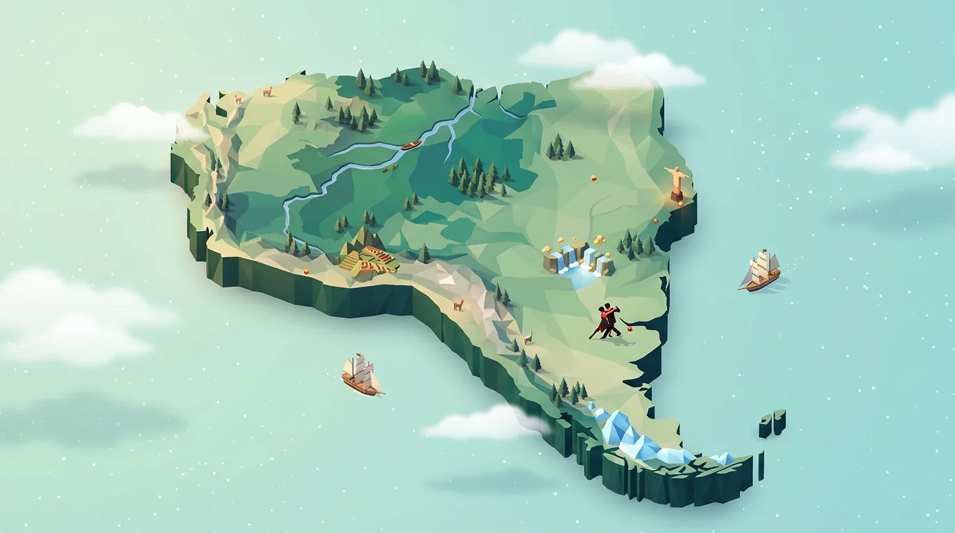
The map above is our pick of places worth the drive. Tap a cell to open details, or hit the list next to the title for every city and sight A–Z, searchable.